Page 33 - Keeyask_ArchaeologyPhotoBook_WebVersion
P. 33

KEEYASK HERITAGE ARCHAEOLOGICAL GUIDEBOOK


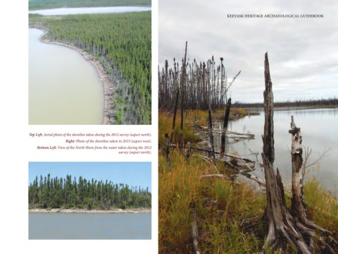
                Top Left: Aerial photo of the shoreline taken during the 2012 survey (aspect north).
                                  Right: Photo of the shoreline taken in 2015 (aspect west).
                    Bottom Left: View of the North Shore from the water taken during the 2012
                                                              survey (aspect north).


                                                                                                                                                                    25
   28   29   30   31   32   33   34   35   36   37   38