Page 95 - Keeyask_ArchaeologyPhotoBook_WebVersion
P. 95

KEEYASK HERITAGE ARCHAEOLOGICAL GUIDEBOOK


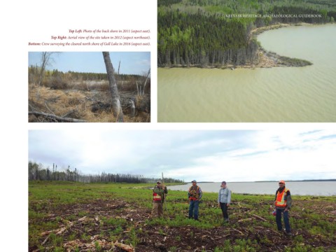
                                    Top Left: Photo of the back shore in 2011 (aspect east).
                           Top Right: Aerial view of the site taken in 2012 (aspect northeast).
               Bottom: Crew surveying the cleared north shore of Gull Lake in 2016 (aspect east).


                                                                                                                                                                    87
   90   91   92   93   94   95   96   97   98   99   100