Page 45 - Keeyask_ArchaeologyPhotoBook_WebVersion
P. 45

KEEYASK HERITAGE ARCHAEOLOGICAL GUIDEBOOK


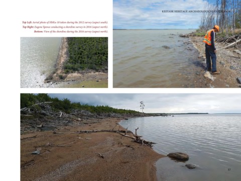
                 Top Left: Aerial photo of HbKu-18 taken during the 2012 survey (aspect south).
                 Top Right: Eugene Spence conducting a shoreline survey in 2016 (aspect north).
                         Bottom: View of the shoreline during the 2016 survey (aspect north).


                                                                                                                                                                    37
   40   41   42   43   44   45   46   47   48   49   50